Documents
This section features public documents and files uploaded by the stakeholders and custodians of the Caspian Sea environment.
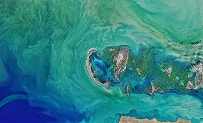
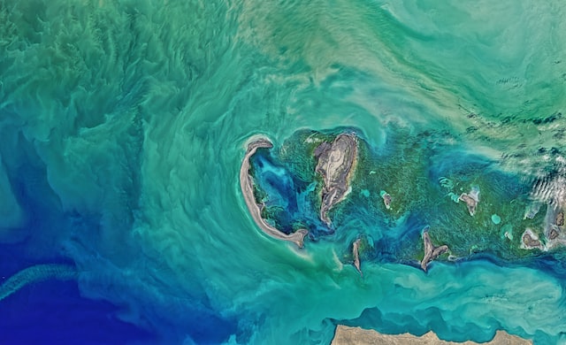
 Caspian Sea State of Environment Report - SoE 1 (2011)Fri, 17/02/2023 - 08:53The Caspian Sea, abundant with natural living and fossil resources, its coastal areas home to more than 15 million people, faces a series of environmental challenges. This State of the Caspian Sea Environment Report should be seen and considered as a first try out and starting point towards the creation of a shared environm
- Description
The Caspian Sea, abundant with natural living and fossil resources, its coastal areas home to more than 15 million people, faces a series of environmental challenges.
This State of the Caspian Sea Environment Report should be seen and considered as a first try out and starting point towards the creation of a shared environmental information system promoting and securing data collection, monitoring, analysis, harmonization and public communication in support of full implementation of the Tehran Convention and its protocols. We hope that it will improve the Caspian information base, enhance the quality, accessibility and relevance of data and ultimately, contribute to strengthening the regional environmental governance framework.
The Caspian Sea SoE 1 Report in higher resolution can be dowloaded here.
- Attached documents
- Metadata
- Year
- 2011
 Article - Effects of Caspian Sea water level fluctuations on existing drainsMon, 23/04/2018 - 19:18This study is an attempt to develop an integrated methodology to predict the impact of the Caspian Sea on flooding using Geographic Information Systems (GIS) and hydrodynamic modeling. A rise in the sea level might lead to major flooding events, and have a severe impact on the spatial development of cities and regions. The f
- Description
This study is an attempt to develop an integrated methodology to predict the impact of the Caspian Sea on flooding using Geographic Information Systems (GIS) and hydrodynamic modeling. A rise in the sea level might lead to major flooding events, and have a severe impact on the spatial development of cities and regions. The feasibility of simulating a flood event along a drain channel is evaluated near residential development areas along the Chapakroud drain.
The study shows that at these elevations environmental and social problems arise with regards to the drain. The results also indicate that GIS is an effective tool for floodplain visualization and analysis. It should be noted that the mixture of salt and soft water, as a result of rising sea water level, is a problem that was not investigated in this study and should be examined in the future.
- Attached documents
- Metadata
- Year
- 2011
Document
Caspian Sea State of Environment Report - SoE 1 (2011)
Document